From Machine Learning to Large-Scale EO Products
Best Practices and Guidelines for Making Maps
The past decade has seen a rapid expansion in the production of large-scale geospatial products derived from Earth observation (EO) data using machine learning (ML). This website presents an end-to-end account of the best practices, challenges, and common pitfalls that span the entire pipeline from raw satellite data to a published, validated map product.
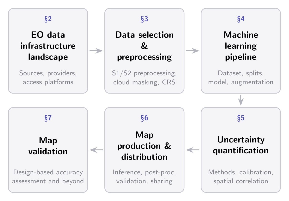
We organize the discussion around six interconnected themes which trace the pipeline from the EO data landscape and preprocessing, through ML-specific stages of dataset construction, model design, and training, to uncertainty quantification, map generation, dissemination, and validation.
Main Sections
Overview of the EO data infrastructure landscape — Satellite missions, data access platforms, and the practical trade-offs of working with petabyte-scale archives.
Data selection and preprocessing — Temporal strategies, cloud masking, SAR preprocessing, and the hidden choices that shape the training signal.
ML dataset construction and model training — Data formats, spatial splitting, gridding, model design, and training considerations specific to EO.
Uncertainty quantification — Sources of uncertainty, quantification methods, calibration diagnostics, and how to operationalize uncertainty in map products.
Map production and distribution — Tiled inference at scale, artifact mitigation, post-processing, and cloud-native dissemination.
Validation — Design-based accuracy assessment, the distinction between model evaluation and map validation, and reporting standards.